- Latest
- Trending
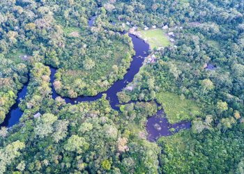
Rome – Farmers, extension workers and governments now have a powerful new tool to help identify the crops best suited to specific parcels of land, enabling more efficient use of resources and greater resilience to climate change.
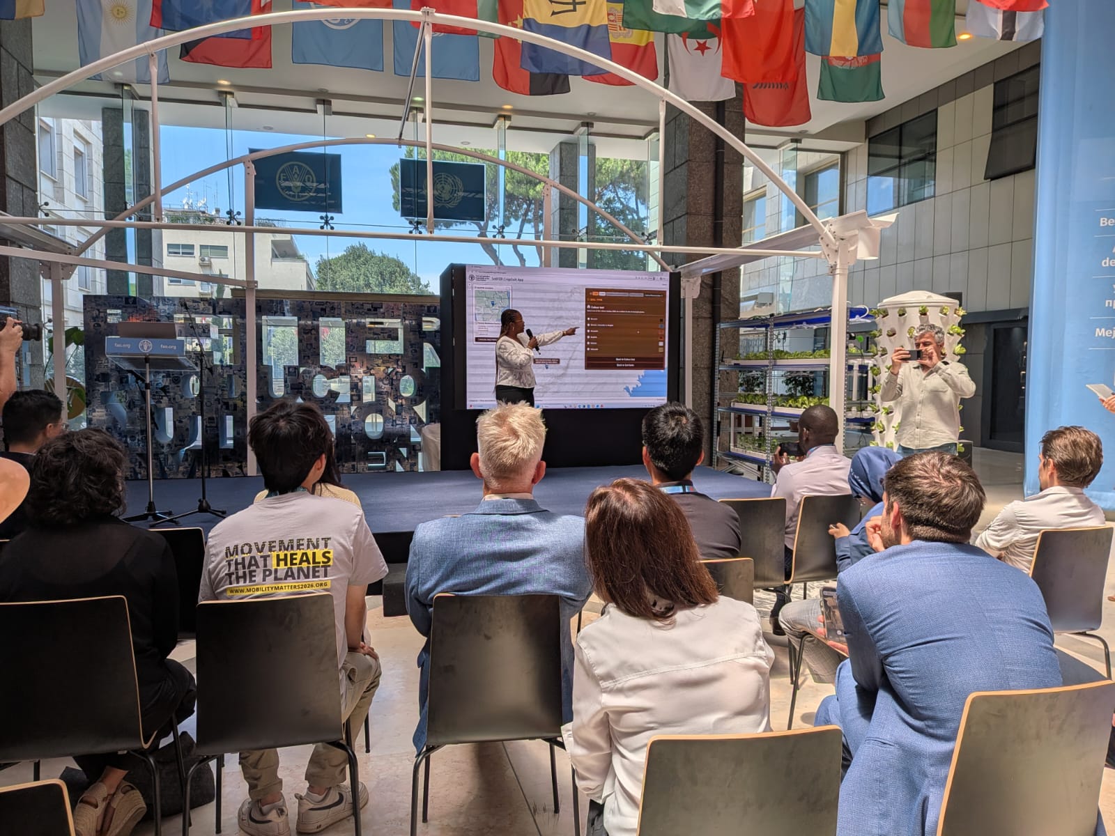
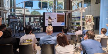
The Food and Agriculture Organization of the United Nations (FAO) today launched CropSuit, a free web-based application that combines soil information with climate information, topography, land cover and other environmental data to identify the crops most likely to perform well in a given location.
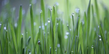
By helping farmers plant the best crop for local conditions, CropSuit supports better yields, improved incomes, more efficient fertilizer use and more sustainable land management. The tool comes at a critical time when 1.7 billion people around the world live in areas where land degradation is reducing agricultural productivity.
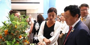
The application was unveiled during FAO’s Global Conference on Smart Farming, which gathered ministers, policy makers, researchers and private-sector representatives from around the world to discuss how digital innovation can improve food production while making agriculture more resilient and sustainable.
“Technology does not replace farmers. It gives them better information to make better decisions, at the right time and in the right place. CropSuit is one example of how innovation can turn science into practical support for farmers,” said Lifeng Li, Director, FAO Land and Water Division. “The challenge is no longer whether smart farming works. It is whether we can ensure that these tools reach the farmers who need them most,” he added.
Better decisions, from planning to planting
The CropSuit application is part of FAO’s Soil Mapping for Resilient Agrifood Systems (SoilFER) programme, an initiative funded by Japan and the United States of America that helps countries in Africa and Central America strengthen their soil information systems by combining advanced soil data, geospatial data integration, crop modelling and digital decision-support tools.
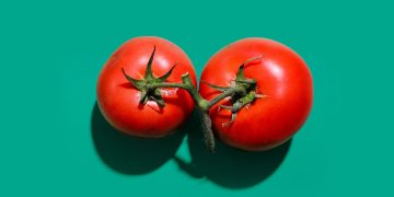
It builds on the Global Agro-Ecological Zoning (GAEZ) framework developed through collaboration between FAO and the International Institute for Applied Systems Analysis (IIASA) and expands access to information on a wide range of crops, including nutrient-dense, traditional and indigenous species with significant potential to improve food security and nutrition.
The CropSuit app further expands the capabilities of the SoilFER Geospatial Platform by providing an intuitive and user-friendly interface for exploring this open-access data.
Turning soil intelligence into practical advice
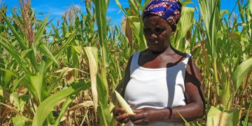
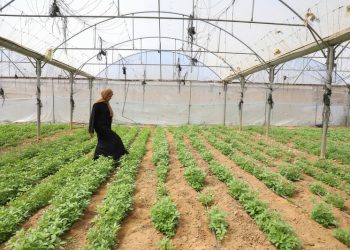
The value of the CropSuit app is already being demonstrated through FAO’s programme in Zambia. Using detailed soil maps alongside rainfall and other environmental data, the application showed that while maize performed well on some fields, neighbouring plots with different soil characteristics were better suited to crops such as cassava, cowpea and fonio. The result is more informed crop selection, greater climate resilience and stronger production potential.
CropSuit is part of an integrated suite of tools under the aegis of SoilFER, which pioneers new ground for the way it encompasses soil intelligence, addressing multiple issues and stretching from specialized chemical analysis to field advisory services.
SoilFER projects currently being implemented in Ghana, Guatemala, Honduras, Kenya, Zambia are designed around three core shareholders: national governments, who benefit from strengthened soil information systems, high-resolution mapping and capacity development; farmers, who gain access to better advisory services and decision-support tools offering economically valuable tips; and soil laboratories, whose analytical capacity is strengthened through equipment, training and standardized methods.
SoilFER strengthens national soil information systems by standardizing field surveys, expanding soil sampling, upgrading laboratories and improving data quality to generate practical recommendations on fertilizer use, crop suitability and sustainable land management. These insights are made available through a free web-based application that can be used by farmers, extension services, researchers, planners and policymakers. Depending on data availability, users can explore crop suitability assessments across participating countries and other areas covered by the GAEZ database.
The first wave of Steam Machines have arrived in the hands of eager early adopters. But while some are celebrating...

Frictional Games - the Swedish developer behind Soma and Amnesia: The Dark Descent - has announced its upcoming release Ontos...
Russian-born billionaire Dmitry Bukhman, co-founder of mobile gaming company Playrix, has become the new sponsor of the International Booker Prize,...
Your support helps us to tell the storyFrom reproductive rights to climate change to Big Tech, The Independent is on...

Discover Global News Panorama at news.mapworldnow.com — your universal gateway to comprehensive, international journalism. From politics and technology to culture and sports, we cover all news niches and all news categories from every corner of the world, all in one place.


